
What are some items included in the 2023 City of Watonga Capital Improvement Plan that have been accomplished, changed, moved out of the original order or scrapped all together?
One big-ticket item that has been removed from the plan was construction of three new water wells east of Watonga High School. That project was estimated to cost around $8 million. But engineering for the drinking water treatment system discovered the current water flow was sufficient for the current project.
The plan, written for the city by Northwestern Oklahoma Development Authority, or NODA, noted first responders needed an upgrade in their hand-held communication radios. The best guess on the cost of the radios at the time was $150,000. But, since things seldom decrease in costs, the radios will instead cost $327,000 and are part of the appropriations for the city pending in its 2025-26 budget.
The radios will be used by police, firefighters and EMTs. Each responder will have a hand-held unit, but there may be another stationary unit in the vehicle.
A third project is the drainage, construction and/or resurfacing from the four-way intersection in Watonga two miles south. The $232,000 has been appropriated in the 2024-25 budget, but because of the limited scope of a two person council, the city cannot seek requests for proposals or go out to bid on the project, nor can it let bids should they be presented.
Each of these items was considered a mandatory fix to maintain the health, welfare and safety of the citizens.
A fourth project that was not on the capital improvement plan was GIS mapping of the city and its assets. City Council agreed to undertake the project last year and hired True North to accomplish the task.
The mapping is now complete, according to the city manager, and employees use it everyday. The maps are on tablets that various crews can use to locate lines, pipes and other underground targets or hazards. It also tracks city resources such as lots, parks and other property.
True North comes to town every two weeks and updates the mapping software with new information. Locates are usually within a few feet, so that workers are able to avoid hitting pipes and the like without uprooting huge areas searching for the pipe.
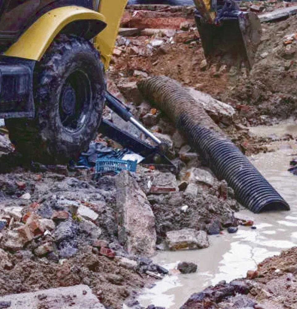
When a situation occurs, such as the water line break near the high school, the repaired line was mapped with pinpoint accuracy. Each time a line or pipe is opened around town, the same updates will occur, continually improving the ability to find, move, repair or tie into underground utilities.